Melrose Avenue Shopping Map View or Print a Map
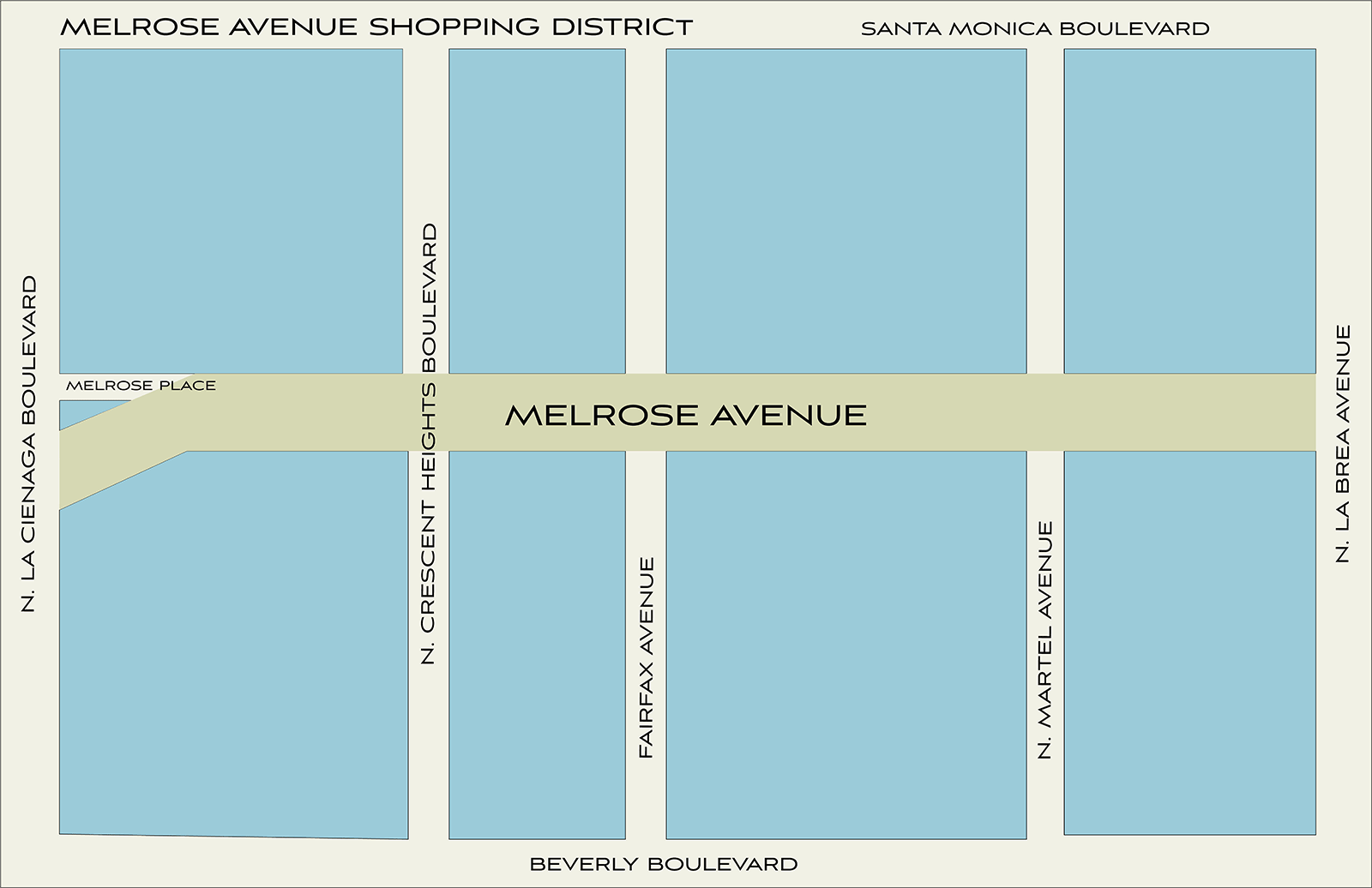
Map of Melrose Avenue Shopping District
Melrose Avenue shopping district begins at La Cienega Boulevard and ends at N. La Brea Avenue, encompassing 14 blocks - 8400 Melrose Avenue to 7000 Melrose Avenue.
Click the link below to open a PDF that is printable.
Melrose Avenue can be broken into four main sections:
- Melrose District
- Melrose Heights
- Melrose Place
- La Cienega Design Quarter
Melrose District
From Fairfax Avenue to Highland Avenue | Melrose District became a popular underground and new wave shopping area in the early 1980's. Pioneered by colorful, adventurous, eclectic owners of shops and eateries. It was the epicenter of Southern California's New Wave and Punk cultures. The attention and excitement drew movie stars and the trend-setters and Melrose Avenue was dubbed "The New Rodeo Drive".
Melrose Heights
From La Cienega Boulevard to Fairfax Avenue | this part of Melrose Avenue houses many of the luxury, upscale high fashion boutiques, and restaurants. Some of them include the Kardashian sister's boutique DASH, Fred Segal, Helmut Lang, Marc Jacobs, Alexander McQueen, John Varvatos, Paul Smith and Vivienne Westwood.
Melrose Place
Melrose Avenue found even more notoriety when "Melrose Place", Aaron Spelling's hit television show turned into a hit. Melrose Place is a smaller offshoot of Melrose Avenue.
La Cienega Design Quarter
The intersecting area of Melrose and La Cienega is considered a design center as it is populated by many antique, furniture, home accessory shops, and art galleries.
Melrose Trading Post - Outdoor Flea Market
Since 1997, every Sunday a crowd gathers at the Melrose Trading Post outdoor flea market. On any given Sunday approximately 250+ local vendors and artisans gather with food vendors and live music for entertainment.